
Broadmeadow Way Topographical Survey
Project overview
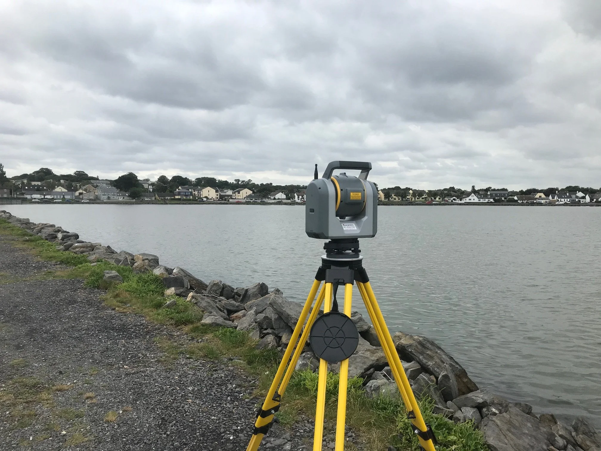
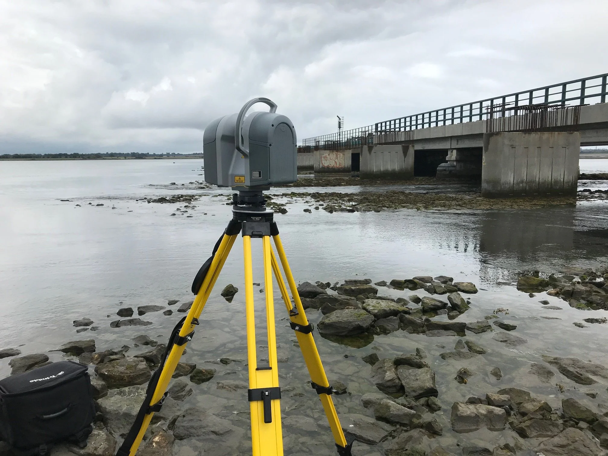
This project consisted of carrying out a detailed laser scanning survey, UAV survey and topographical survey of the Malahide Viaduct and railway embankments to facilitate the design/construction of the Broadmeadow Way walking and cycle path that will run alongside the existing bridge. This project involved surveying along the main Dublin to Belfast railway line. There was also the challenge of surveying the weirs and lower parts of the embankments which are subject to tides that can change quite quickly. The iO Geomatics team worked alongside Irish Rail track protection staff to survey the tracks and bridge areas safely while trains were still running. We also laser scanned the newer pillars that were constructed in advance to facilitate the walkway and produced a detailed Revit model of these for design purposes.
Project solution
Surveys carried out utilising a variety of methods and technologies including using Trimble SX10 robotic total station/laser scanner, Trimble R12 GNSS receivers, Trimble TX8 laser scanner and Trimble UX5HP UAV.
Detailed BIM model in Revit format of the existing pillars and steel.
We also flew the area with a UAV and provided detailed orthophoto to the client at no extra cost.
Our crews also worked weekends to survey the railway line while train traffic was low.
Project delivery
2D/3D Topographical Survey in AutoCAD format.
Aerial Orthophoto
BIM model of bridge in Revit format.
Elevations drawings in AutoCAD format of road and river bridges inside the project area.
Gallery


Click images to expand.