Land Surveying & Setting out services
Topographical surveys are carried out to accurately map site features and survey ground levels to provide a 2D or 3D map of the site. The survey data is typically used by architects or engineers to provide information for planning or design purposes. Topographical surveys are typically carried out at a scale of 1:500 with more accurate surveys sometimes needed for more specific applications. Topographical survey information can also be used for providing information on boundaries required for Land Registry Mapping. It is important to use the services of a suitably qualified and experienced survey to carry out this work.
Capability
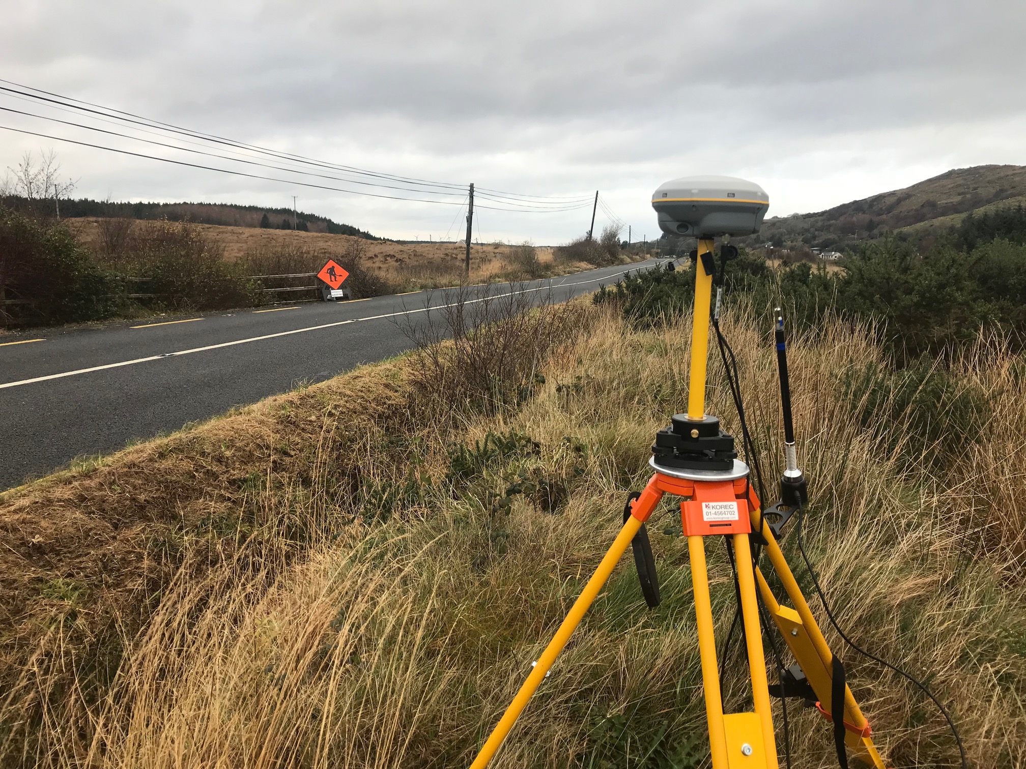
IO Geomatics has invested in the latest survey technology and processing software to carry deliver these types of surveys. Our company primarily uses Trimble Robotic Total Stations, Trimble Terrestrial Laser Scanners and Trimble R10/R12 GNSS to carry out all topographical surveys. This market leading survey technology along with Trimble Business Centre processing software enables our company to efficiently carry out surveys and provide high quality deliverables in digital format and in paper format where required.
Services
LAND SURVEYS FOR PLANNING and DESIGN:
Survey of site features and ground levels in 3D to allow accurate design for construction purposes.
As-built Surveys:
Surveys of buildings or plant to check design or facilitate further design and/or refurbishment.
Site Cross Sections:
Survey of site profiles at a number of locations. Typically used by architects and engineers for planning and design of residential and smaller commercial sites.
Boundary and Legal Mapping:
Surveys of boundaries and sites for property registration, boundary check or due diligence.
Survey Control:
Installation or checking of survey control points that provide that provide the framework for surveys and setting out.
Volume Surveys:
Survey of earthworks and calculation of volumes to detail construction progress or for payment of earthworks contractor.
Measured Building Surveys:
Detailed mapping of internal and external building layout for design and/or record purposes.
Building Elevation/Roof Surveys:
Detailed survey of building elevations/roofs for design and/or record purposes.
Bridge Elevation Surveys:
Survey of bridge elevations are typically used for design or refurbishment purposes. This type of survey is also used for calculating flow volumes for flood management studies.
Monitoring Surveys:
High accuracy movement measurement of structures over time for safety reasons or for litigation such as pyrite cases.
Watercourse Surveys:
Survey of watercourse profile to include both cross sections and long sections for flood management studies.
Surveys for Conservation purposes:
High accuracy surveys of older buildings such as Castles and Churches to provide an as-built record for conservation or restoration projects.
Delivery formats
2D or 3D AutoCAD
MX File
TIN Model
Hard Copy Drawings (if required)
ASCII or CSV file
Survey/Control report in Word or PDF
Why use IO Geomatics for Surveying Services
Suitably qualified staff with 20 years experience in carrying out survey projects.
Company personnel have worked on some the largest and most detailed surveying contracts in Ireland since 1998.
High level of Professional Indemnity Insurance cover in place for all projects.
Substantial experience in boundary and legal mapping including multiple expert witness appearances at High Court level.
Our company has made significant investments in the latest surveying technology and software to provide the right solution for our clients.
Significant experience in construction and roads surveys having worked on some of the largest contracts in Ireland since 1998.
High quality surveying and processing work flow using proven Trimble and AutoCAD software to produce final deliverables.
Gallery
Click images to expand.