South Kerry Greenway Topographical Survey
Project overview
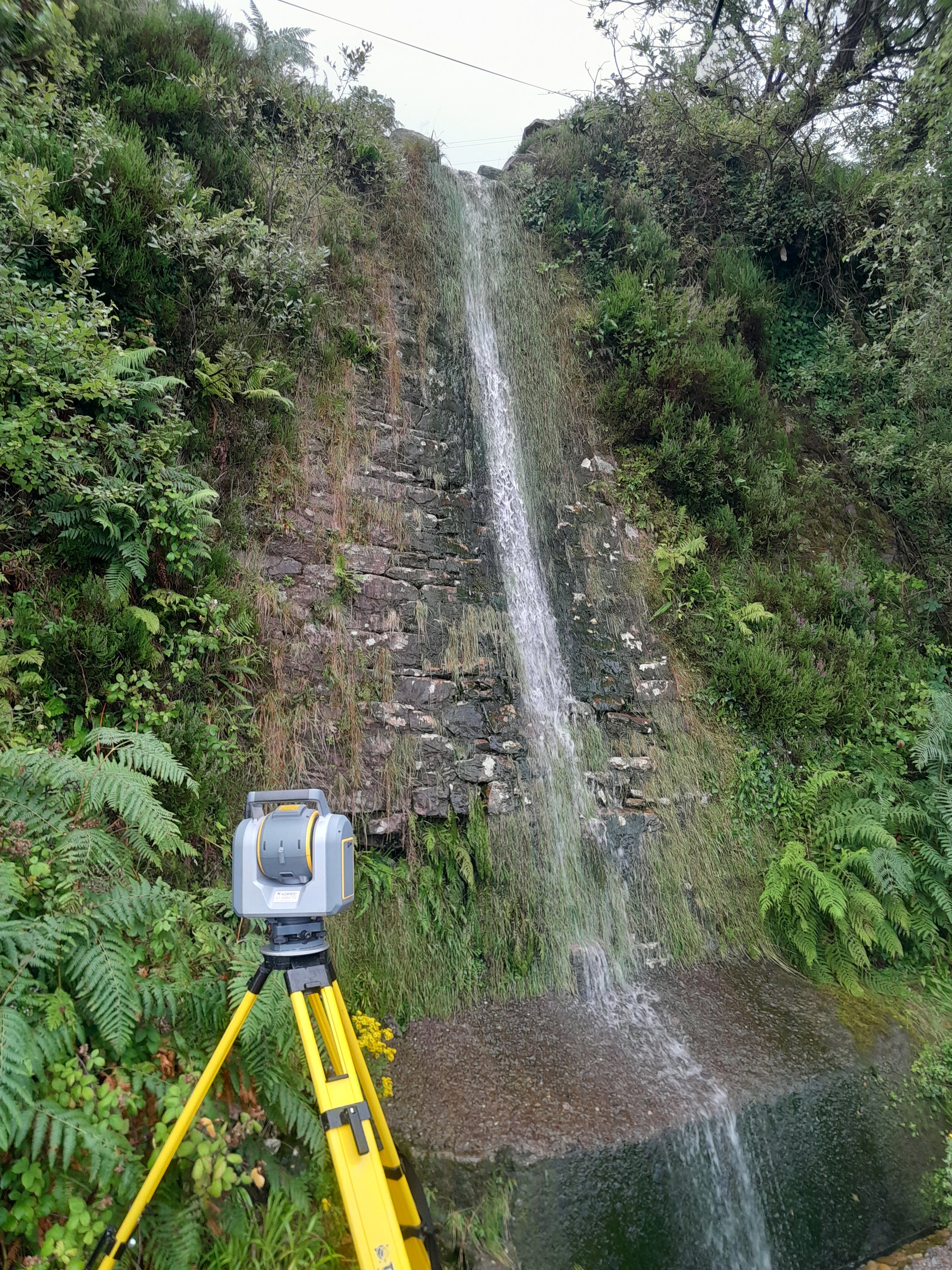
This project consisted of carrying out a topographical survey over some steep and inaccessible terrain using both ground and aerial UAV survey methods. The survey was carried out along part of the route of the old Farranfore to Valentia railway line to facilitate the design/build of the South Kerry Greenway walking and cycling path which runs from Glenbeigh to Cahirciveen, Co. Kerry. The area of interest was 27 kms long and with an area of 170 Hectares. We used our SenseFly EbeeX fixed wing drone for capturing the area of interest outside of the project centreline. The area of interest along the exact greenway centreline was surveyed using a combination of ground survey methods such as GNSS, Total station and Laser scanning.
Project solution
The aerial survey was carried out for the whole 27km long 170 hectare project area using our Sensefly Ebee X fixed wing drone.
A full ground survey was carried out along the Greenway centre line. This survey included capturing details for all culverts and tunnels
A detailed aerial topographical survey in AutoCAD format with geo-referenced 5cm pixel orthophoto was captured for the whole area interest.
A detailed high accuracy ground topographical survey in AutoCAD was produced for the exact extents of the South Kerry greenway (boundary to boundary).
In addition to the ground topographical survey we produced culvert elevations and watercourse cross sections in AutoCAD format.
Provision of high accuracy control network for use during the construction phase.
Project accuracies Aerial - Horizontal accuracy of +/-50mm for hard detail such as buildings, roads and walls and +/-75mm for soft detail such as vegetation and surface changes. Vertical accuracy (levels) +/-75mm for hard detail and +/- 100mm accuracy for soft -detail.
Project accuracies Ground - Horizontal accuracy of +/-10mm for hard detail such as buildings, roads and walls and +/-25mm for soft detail such as vegetation and surface changes. Vertical accuracy (levels) +/-5 mm for hard detail and +/- 50 mm accuracy for soft -detail.
Project delivery
2D/3D Aerial and Ground Topographical Survey with Orthophoto background in AutoCAD format.
Culvert and Tunnel surveys in AutoCAD format.
Ortho photo in GeoTIFF format.
TIN Model in AutoCAD format.
DTM in CSV format
Provision of survey report for high accuracy control network.
Gallery
Click images to expand.